QGIS
QGIS (Geographic Information System) is a powerful geospatial database software that enables users to create geospatial data using a wide range of tools for visualization, editing, analysis, and publishing. It offers advanced features for leveraging geospatial data, such as analyzing spatial patterns in specific areas to identify optimal locations for retail services or examining city-wide spatial trends for planning new travel routes, residential expansions, and more.

ad
Whether you’re a business owner aiming to grow your enterprise or part of an organization looking to enhance its reach, Quantum GIS can transform your strategies for location planning, marketing, and project management. Business users, in particular, can benefit greatly from modern geospatial databases, using the software to evaluate potential locations and access valuable data, such as pedestrian movement patterns, the presence of competing businesses nearby, and visit frequencies at key points. The software also provides detailed analytics tools for deeper insights.

Developed as an open-source solution under the Open Source Geospatial Foundation (OSGeo) project and licensed under the GNU General Public License, QGIS is accessible on any modern PC, including Linux, Unix, macOS, and Windows (32-bit and 64-bit), as well as on Android smartphones and tablets for mobile use.
With support for numerous vector, raster, and database formats, QGIS software stands out as an exceptional tool for identifying meaningful spatial patterns in any area.
ad

Features and Highlights
View Data – Users can easily load and overlay vector or raster data in various image formats, offering a host of advanced features designed for experienced database management users.
Evolved User Interface – The tool excels in composing and interactively exploring spatial data. Its user interface includes features like on-the-fly reprojection, an overview panel, spatial bookmarks, annotation tools, feature identification and selection, attribute editing, viewing and searching, data-defined labeling, project saving and restoring, and additional map elements such as a north arrow, scale bar, and copyright label.
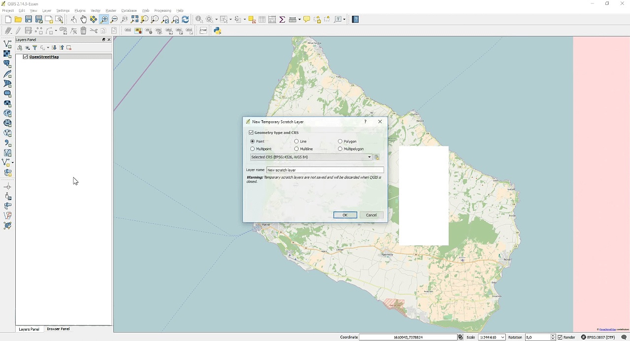
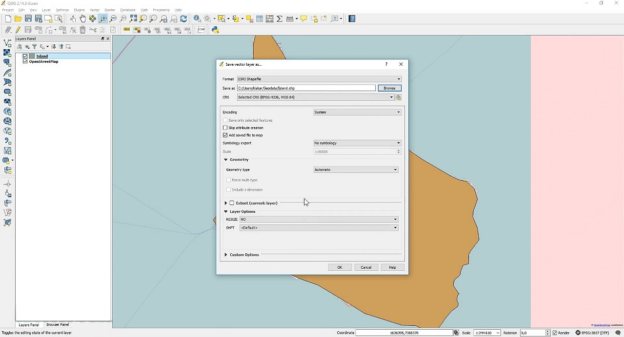
Create, Edit, Manage, and Export Data – Users can create, edit, manage, and export vector and raster layers in multiple formats. Advanced tools include GPS data integration, OpenStreetMap data visualization and editing, enhanced spatial database table management, digitizing tools for OGR-supported formats and GRASS vector layers, shapefile creation and editing, exporting georeferenced image screenshots, and more.
Analyze Data – Leverage advanced analytical tools for vector analysis, sampling, geoprocessing, geometry, database management, GRASS tools, and additional capabilities.
Publish Maps on the Internet – Use Quantum GIS to function as a WMS, WMTS, WMS-C, WFS, or WFS-T client, and as a WMS, WCS, or WFS server. It also works as a web server using UMN MapServer or GeoServer.
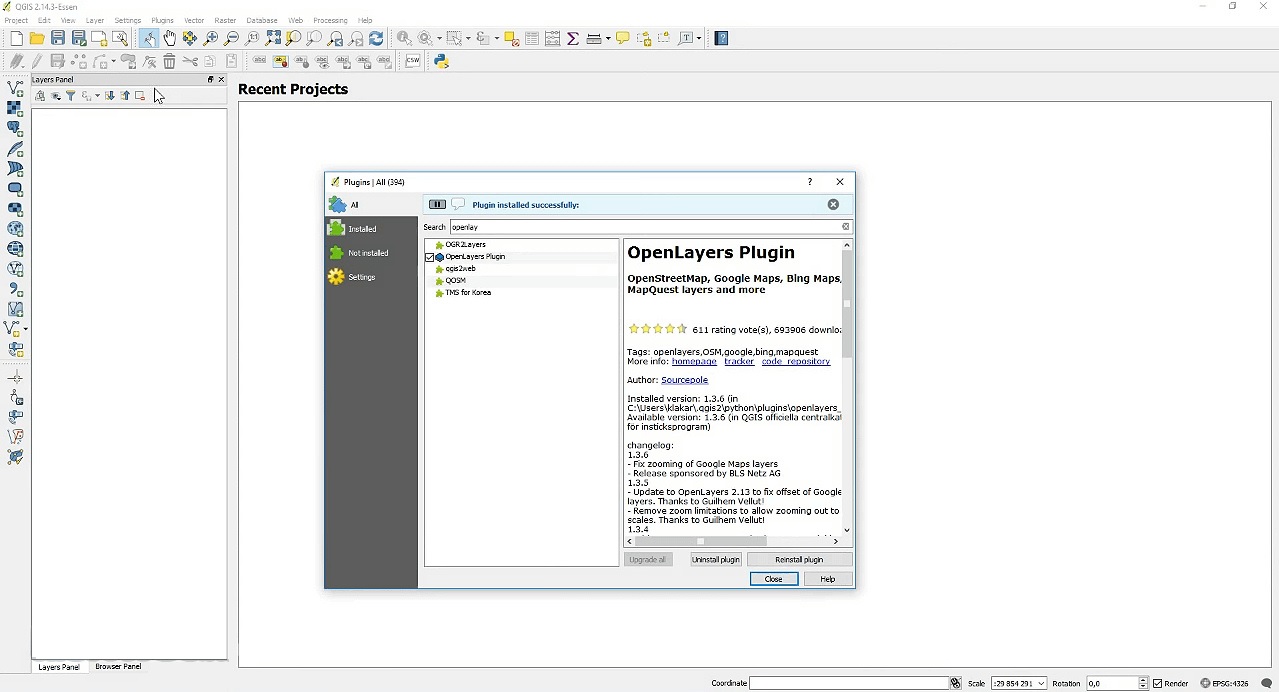
Extend QGIS Functionality Through Plugins – Expand its functionality with an extensible plugin architecture and libraries, allowing users to create custom plugins tailored to their needs.
- Wide array of core plugins
- Integrated Python Console support
- Compatibility with external Python plugins
- And more.
FAQ’s
What is QGIS used for?
QGIS is a powerful geospatial database software used to create, visualize, edit, analyze, and publish geospatial data. It helps users identify spatial patterns, plan locations for services, analyze city-wide trends, and manage geospatial data for business, research, or organizational projects.
Is QGIS suitable for beginners?
Yes, QGIS is suitable for beginners as well as advanced users. Its intuitive interface and extensive online tutorials make it easy for newcomers to get started, while advanced features cater to experienced professionals.
What types of data can QGIS handle?
QGIS supports a wide variety of data formats, including vector, raster, and database formats. It can also integrate GPS data, OpenStreetMap data, and spatial database tables, offering flexibility for diverse geospatial needs.
Can I use QGIS for business location planning?
Absolutely. QGIS enables businesses to analyze potential locations by providing insights into pedestrian movement patterns, proximity to competitors, and visit frequencies. It helps in making data-driven decisions for location planning and marketing strategies.
Is QGIS free to use?
Yes, QGIS is open-source software distributed under the GNU General Public License. It is free to download and use on various platforms, including Windows, macOS, Linux, and Android.
Does QGIS support mobile devices?
Yes, QGIS is compatible with Android devices, allowing users to work on geospatial data on the go. This makes it convenient for fieldwork and mobile analysis.
What are the benefits of using QGIS plugins?
QGIS plugins extend its functionality, enabling users to perform specialized tasks such as advanced data analysis, custom map creation, or specific database management. Plugins can be developed using its extensible architecture and Python support.
How can QGIS help with map publishing?
QGIS supports map publishing through web services like WMS, WMTS, WFS, and WFS-T. It can also act as a server using UMN MapServer or GeoServer, making it a versatile tool for sharing maps online.
Does QGIS support Python scripting?
Yes, QGIS includes an integrated Python console, allowing users to automate tasks, create custom scripts, and develop plugins for specialized workflows.
What platforms does QGIS support?
QGIS is available on Linux, Unix, macOS, Windows (32-bit and 64-bit), and Android. Its cross-platform compatibility makes it accessible for a wide range of users.
What makes QGIS unique compared to other GIS tools?
QGIS stands out for its open-source nature, extensive plugin support, cross-platform compatibility, and ability to handle a broad range of data formats. Its balance of user-friendliness and advanced features makes it ideal for diverse geospatial projects.
Conclusion
QGIS is a versatile and powerful geospatial software that empowers users to create, analyze, and manage geospatial data with ease. Its open-source nature, extensive plugin support, and compatibility with various platforms make it an ideal choice for professionals and beginners alike. Whether you’re planning business locations, analyzing city trends, or publishing maps online, QGIS provides the tools needed to make data-driven decisions. With its user-friendly interface and advanced features, QGIS is a must-have solution for anyone looking to leverage the power of geospatial data in their projects.
ad


Comments are closed.