


Global Mapper is a powerful GIS software designed for Windows PC users looking for a reliable 64-bit free download. Whether you’re a GIS professional, student, or hobbyist, Global Mapper stands out as a top-tier Geographic Information System (GIS) tool. It offers robust capabilities including complex spatial data management, LiDAR point cloud processing, 3D terrain modeling, and support for exporting in nearly any spatial format. With its intuitive interface and broad feature set, Global Mapper is a must-have in the geospatial field.
In this comprehensive guide, we explore everything you need to know about Global Mapper download, its features, supported platforms, pricing, system requirements, and how it compares with alternative GIS software.

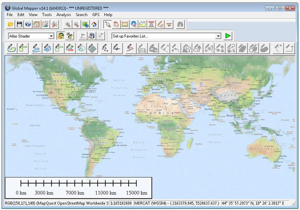
📊 Global Mapper Overview
Originally a simple data viewing tool, Global Mapper has evolved over the past three decades into a full-featured GIS platform. Today, it is known for its powerful tools for map creation, LiDAR data processing, 3D terrain visualization, and extensive file format compatibility.
Key reasons users seek Global Mapper download for Windows 10 and Global Mapper download for Windows 7 include:
- Affordable GIS functionality
- Intuitive interface
- Extensive data format support
- Seamless LiDAR integration
- Enterprise-level geospatial analysis tools

🔧 Top Features of Global Mapper (Explained)
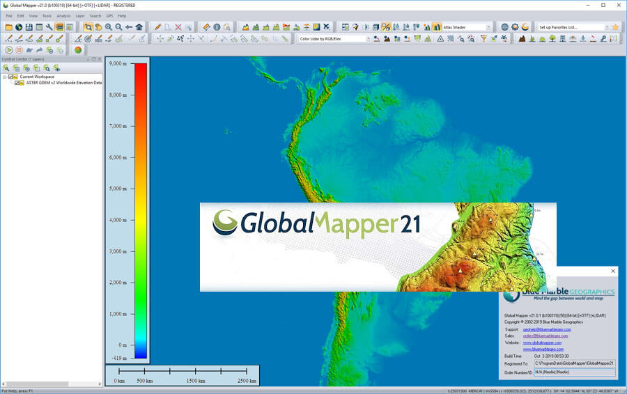
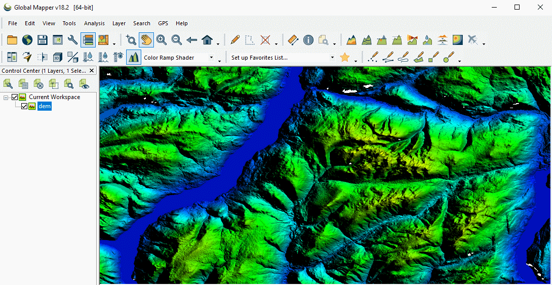
🌄 3D Terrain Modeling
Visualize and analyze digital elevation models (DEMs) in realistic 3D views. This is perfect for terrain analysis, slope mapping, and visual planning in engineering and environmental projects.
🛰️ LiDAR Support
Efficiently handle billion-point LiDAR datasets with classification, filtering, and extraction tools. Supports both LAS and LAZ formats for high-precision point cloud analysis.
➗ Raster Calculator
Perform advanced mathematical operations on raster imagery. Combine multi-band images, calculate NDVI, and enhance satellite data for deeper analysis.
🗺️ Multi-View Interface
Work with multiple maps at once using docked window panes. Compare layers side-by-side, manage different projections, and streamline your GIS workflow.
🧩 Plugin Support
Enhance the software with custom plugins and toolbars. Add specialized modules like the LiDAR extension or automate tasks via scripting.
🖼️ Image Rectification
Georeference scanned maps or aerial images by aligning them with real-world coordinates. Ideal for digitizing historical or paper-based maps.

📍 Geocoding
Convert addresses into latitude and longitude coordinates for accurate map plotting. Essential for location analysis and logistics mapping.
✏️ Digitizing Tools
Create, edit, and manage vector features (points, lines, polygons) with precise digitization controls. Ideal for custom mapping and feature extraction.
📁 Data Format Support
Import and export over 300 spatial file formats, including SHP, KML, DXF, TIFF, LAS, and more. Ensures compatibility with most GIS platforms.
🌐 Online Data Access
Connect to live online datasets such as satellite imagery, topographic maps, and elevation data with just a few clicks. Supports services like WMS, OSM, and more.
🌍 Google Earth Integration
Seamlessly export and import KML/KMZ files for viewing or editing in Google Earth. Great for presentations or sharing location-based data.
🖨️ Print & Share
Design high-quality print layouts with legends, scale bars, and titles, or export maps for digital use on websites, presentations, or reports.

📄 File Formats Supported
Global Mapper offers extensive file compatibility for spatial data:
- Vector: SHP, DXF, DGN, GPX, KML/KMZ
- Raster: ECW, JPEG, PNG, TIFF, BMP
- Elevation: DEM, DTED, SDTS
- LiDAR: LAS, LAZ
- Database: PostGIS, Oracle Spatial, SpatiaLite
📅 Global Mapper System Requirements
To run the Global Mapper download free version effectively, ensure your system meets these specs:
| 🧩 Component | 💻 Minimum Requirement |
|---|---|
| 🖥️ Operating System | Windows 7/8/10 (64-bit) |
| 🧠 RAM | 1 GB or more |
| 💾 Disk Space | 320 MB free space |
| ⚙️ Processor | Intel Core i3 or higher |
| 🎮 Graphics | OpenGL 3.3+ Compatible GPU |
🌍 Global Mapper Online & Licensing Options
While there is no full Global Mapper online version, the software supports integration with online data services, including:
- USGS topo maps
- OpenStreetMap
- Satellite imagery providers
Global Mapper price starts with a free trial and transitions into a commercial license depending on user type:
| 🏷️ License Type | 💰 Approx. Cost (USD) |
|---|---|
| 👤 Single User | $599 |
| 🎓 Academic | $399 |
| 🏢 Enterprise | Custom pricing |
| 🌐 LiDAR Module | Additional $299 |
💼 Who Should Use Global Mapper?
Global Mapper is ideal for:
- Surveyors & cartographers
- Environmental scientists
- Civil engineers
- Forestry professionals
- Military and government agencies
- Students & educators in geospatial sciences
Its ability to deliver enterprise-level results while being intuitive makes it a strong alternative to more expensive software like ArcGIS.
👉 Step-by-Step: How to Download and Install Global Mapper (64-bit)
- Visit the official website or trusted distributor site.
- Choose Global Mapper download free for a trial.
- Select the appropriate version (e.g., Global Mapper free download 64 bit).
- Download the installer for Windows 10 or Windows 7.
- Follow the on-screen instructions.
- Activate trial or enter license key for full access.
⚠️ Note: Always verify software from official sources to avoid malware or tampered files.
🌐 Global Mapper vs. Alternatives
| 🧭 Software | 🆓 Free Version | 🗺️ 3D Support | 🌩️ LiDAR Support | 🖥️ User Interface |
|---|---|---|---|---|
| 🌍 Global Mapper | ✅ Yes (trial) | ✅ Yes | ✅ Yes | ⚙️ Moderate |
| 🛰️ QGIS | ✅ Yes | ✅ Yes | 🧩 Via Plugins | ⚙️ Moderate |
| 🧪 ArcGIS | ❌ No | ✅ Yes | ✅ Yes | 💼 Advanced |
| 🌱 GRASS GIS | ✅ Yes | ✅ Yes | ⚠️ Limited | 🔧 Complex |
Global Mapper holds its ground with an easy learning curve and advanced built-in tools, while competitors often require extensions or deeper technical expertise.
🛠️ Technical Specification
| ⚙️ Specification | 📄 Details |
|---|---|
| 🔢 Version | 23.0 |
| 💾 File Size | 349 MB |
| 🌐 Languages | English, Italian, French, Spanish, Polish, Chinese, German, Japanese |
| 🆓 License | Free Trial |
| 🏢 Developer | Blue Marble Geographics |
❓ Frequently Asked Questions (FAQs)
Q1: Can I get Global Mapper download free permanently?
A1: No, but you can use the free trial version. For continued access, you must purchase a license.
Q2: Is there a version of Global Mapper download for Windows 7?
A2: Yes. Both Windows 7 and Windows 10 (64-bit) are supported by the latest Global Mapper versions.
Q3: Is Global Mapper online-based software?
A3: No. It is a desktop application but connects to many online spatial data services.
Q4: What is the Global Mapper price?
A4: Pricing starts at around $599 for a single user license. The LiDAR module is an extra $299.
Q5: What are some LSI keywords related to Global Mapper?
A5: Keywords like spatial data analysis, LiDAR software, and GIS data visualization help expand search relevance.
🌟 Conclusion
Whether you’re looking for Global Mapper download for Windows 10, Global Mapper download for Windows 7, or just exploring top GIS tools with LiDAR and 3D support, this software is an excellent choice. Its powerful processing, seamless data export/import, and extensive feature set make it ideal for professionals and enthusiasts alike.
With a low entry barrier and strong return on investment, Global Mapper empowers users to visualize, analyze, and manage spatial data like never before. Download your trial today and experience what this software has to offer!